From Kununurra we headed about 70km to
Lake Argyle. This lake is an enormous inland sea that was created by the damming of the Ord River, which snaked its way between the Carr Boyd Ranges. It took three dry seasons commencing in 1969 to build the dam wall and they expected that the catchment would reach capacity in 8 years; however after three wet seasons it was full to the brim! In 1986 the dam wall was extended upwards by six metres, thus doubling the capacity of the Lake. To give some idea of the expanse of this water....at present there are in excess of 22 million people in Australia. If each person used 300 litres of water a day, then Lake Argyle has sufficient water to meet everyone’s needs for three years. It's unbelievably huge!
 |
| Spillway Creek |
To reach the lake you have to cross a natural overflow area,
Spillway Creek, and we were told by the locals that they have been catching large barramundi well over a metre in length near this spillway. During the big wet this year, this crossing was closed for four weeks as the water flows from a natural outlet in the lake, and in March this year the water was 8 metres above its normal level. According to our tour guide there was enough water to fill Sydney Harbour passing under the Spillway Bridge every minute. Given the amount of water flowing under the bridge during this period, the locals held grave concerns that the bridge wouldn’t stand up to the buffeting and it might break up and collapse. Fortunately the bridge escaped unharmed this time.

 |
| Dead Horse Springs |
We also visited
Dead Horse Springs which had a horrible name for such a picturesque spot. We also took a drive on top of the dam wall and beyond to see the
hydro-electric station that is a more recent addition to the Lake. It supplies power, not only to the township here, but also to Kununurra, Wyndham and to the Argyle Diamond Mine. They don’t have to use the large diesel generators any more....wonder how many carbon credits Julia and Co will give them for that initiative? The outlet flow that turns the turbines in the hydro-electric station flows back into Ord River.
|
| Hydro Electric Station |
 |
| Durack Homestead |
Lake Argyle is named after
Argyle Downs, the million acre station that was owned by the Durack Family until the 1950’s. Although they had vacated the station before the proposal for the dam was approved, the station itself was later moved to a site that is high and dry. It is now a museum honouring the exploits of the Durack Family. Some of the original gravestones were also relocated, including that of Patsy (Patrick) Durack who chose the original land near the Ord River.
 |
| Add caption |
In the afternoon we had a wonderful
sunset cruise on the Lake. Graeme, our bus driver, skipper, tour guide and caterer, was very friendly and informative. We really couldn’t believe the size and immensity of this inland sea. It was very hard to imagine that the numerous islands that dotted the surface of the lake were once large hills and mountains. The depth sounder on the boat would drop to 40 metres when we followed the path of the original Ord River, however most of the lake is 20 metres or so in depth.
 |
| We Enjoyed the Infinity Pool at Lake Argyle |
From Lake Argyle we continued our trek eastward and finally crossed the border into the
Northern Territory. The road system leaves a lot to be desired in this part of the state and we were extremely surprised at the speed limit!
We had planned to stay at the campground at Big Horse Creek, in the Gregory National Park, however there was not a shady tree anywhere in this campsite, so we then headed to the shade of the
Timber Creek caravan park. On the way we passed a cairn giving information about the
Gregory Tree, marked by Augustus Charles Gregory and his party in 1855. I wonder if in 2111 people will be looking at a cairn that is seeking to honour a boab marked “Wazza was here in 2011”; we have passed hundreds of these!
 |
| Tranquil Pond? |
 |
| Same Pond - A little later! |
The Timber Creek caravan park has crock feeding every afternoon. I had taken a picture of the creek earlier in the day and there were no crocs to be seen. However by feeding time there were at least five crocs ready and waiting to be fed – some close to two metres long. Even though these were only`freshies', these crocs still looked quite prehistoric. We each took a turn feeding the crocs and it was quite exhilarating. There was a forceful SNAP! every time they closed their jaws on the portions of meat. Definitely will not be playing with any of these ‘short legged, long tailed, swamp dogs’!
 |
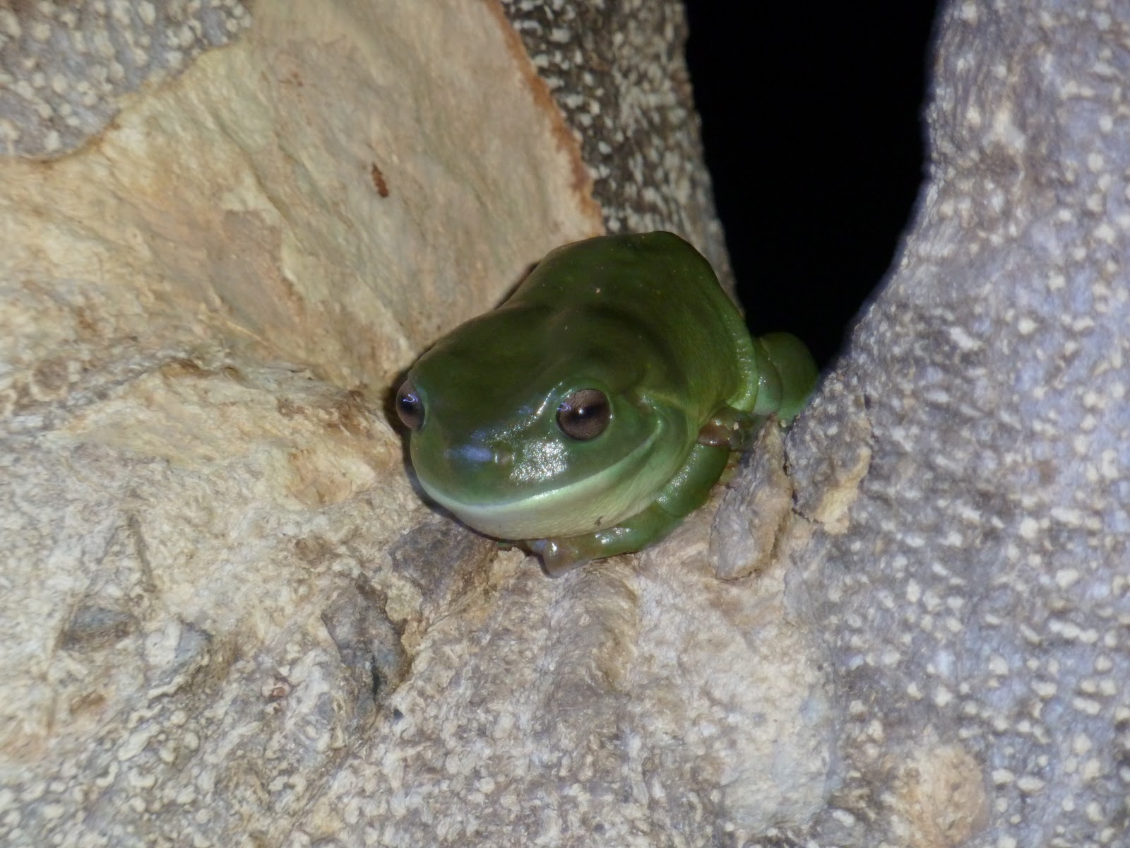
| A Visitor at Timber Creek |
 |
| Victoria River |
 |
| Victoria River |
 |
| Durack Monument |
Continuing eastwards from Timber Creek, we passed by
Victoria River.
This river is part of the largest river system in the Northern Territory, at times reaching a kilometre across. It flows through interesting rock formations and gorges. Mark and David threw a line in while Shirley and I found a shady spot to catch up on some reading. It made for a pleasant morning tea stop on our journey. We also passed by a monument to the Durack Family. It was based on a bronco board, used in the bush to help manage cattle and wild broncos.
 |
| Billabong at Sullivan Campground |
Mark and I then headed for the
Sullivan Campground of Gregory National Park where we were keen to camp once again under the stars. By dusk we were sharing this campground with a lot of other travellers, most of them from Queensland. Mark prepared a wonderful fire and we enjoyed hearing about the different adventures experienced by all. Met a lovely family who are travelling with their six children. It was quite amazing to watch them all disembark from their car. They were a lucky family having such fun touring around Australia. Check out their blog (aroundozwith6kids.blogspot.com)
Nitmiluk National Park was the next stop on our journey. We had decided to stay in the campground, which though not the usual cheap stay for a national park, was certainly value for money. We couldn’t believe that even though you can swim in Katherine Gorge (trusting that all the salties have been trapped) this campsite has a huge swimming pool in landscaped surrounds.
 |
| Katherine Gorge |
 |
| Rock Pools at Katherine Gorge |
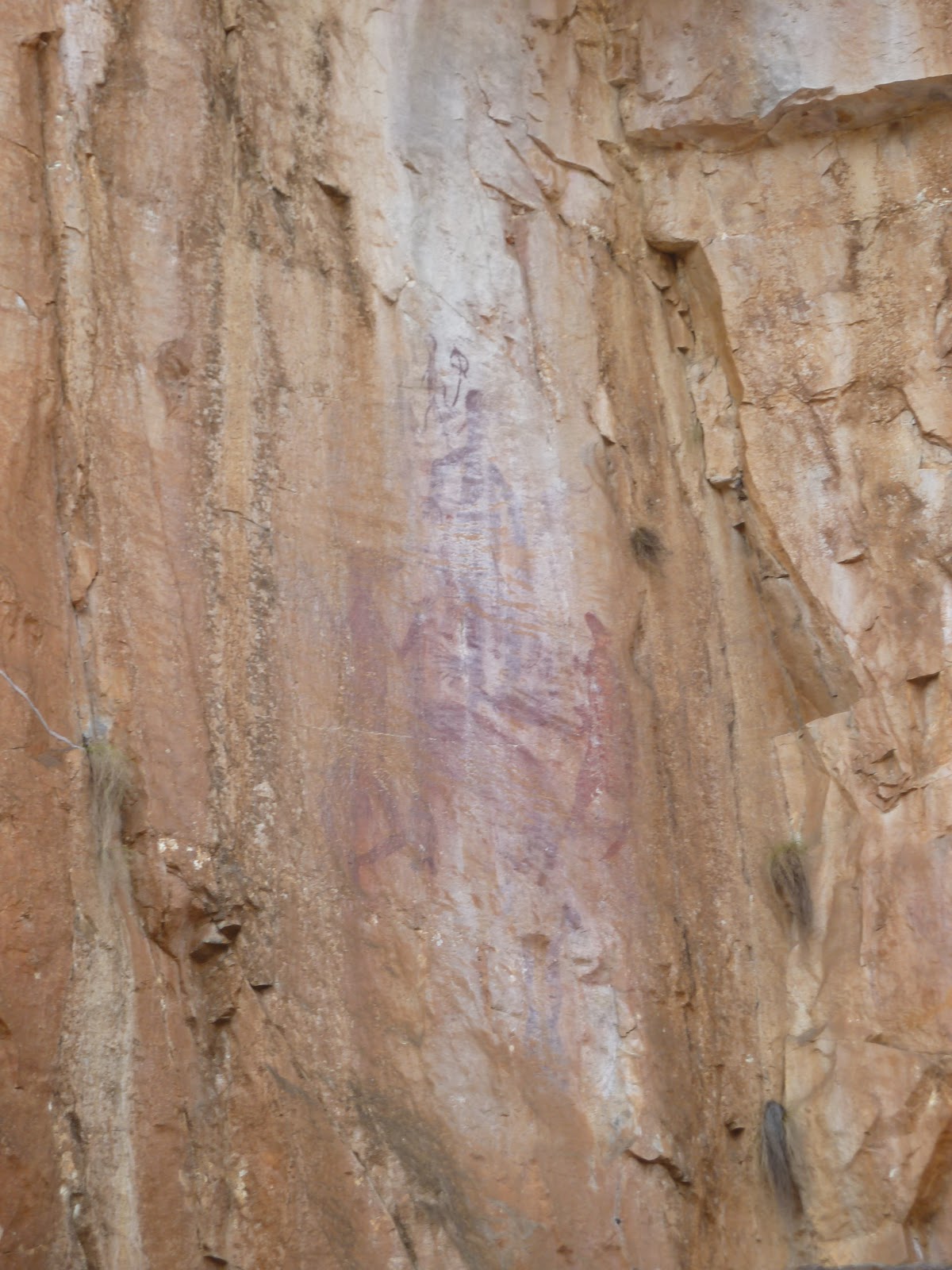
Nitmiluk Gorge (the place of the cicadas) is quite breathtaking, however it is not the only gorge in this national park. There are13 gorges in total, however to get to most of them you have to walk quite a long distance. (33.2km to Eighth Gorge). We opted to take the two gorge boat cruise, which entailed walking around rock holes to a second boat before we entered
Katherine Gorge. This was originally the land of the Jawoyn People and there is still some rock art on the gorge walls. The colours of the surrounding escarpment were quite spectacular. Mark and I had been a bit worried that by now we were ‘all gorged out’ however we enjoyed every moment of our time at Nitmiluk National Park.
 |
| Donna at Gorge |
 |
| Rock Art on Gorge Wall |
We then headed back to the township of Katherine ensuring we would have television reception so we could experience both the AFL & NRL grand finals! Interestingly as you arrive in Katherine, there is a sign, ‘Welcome to Katherine, The Birthplace of Cadel Evans’ with a large poster of Cadel with the Australian Flag wrapped around his shoulders.
 |
| Springvale Station |
 |
| Katherine River at Springvale Station |
 |
| Mark under Raintree |
Springvale Station was worth a visit. It is the oldest original homestead in the Top End, established in 1879. Near the homestead are four huge South American Raintrees which were planted by Mary Giles, the wife of the original manager. She planted one for each of their children. Tragically two of these children died early, one at only 24 hours and another at three years of age. Life was very tough in the outback in those days. From this station they run Jumping Croc Tours each night.
 |
| Mark at Hot Springs |
 |
| Donna at Springs |
We also loved swimming in the Katherine Hot Springs – thermal pools in the centre of the town, with clear flowing water and green surroundings.
 |
| Ktherine - Low Level Crossing |
The Low Level Crossing Area is a weir across the river which has some tranquil pools. Apparently at times groups are swimming in these pools when fifty metres away are four metre saltwater crocodiles. I wasn’t even tempted to try these pools.
From Katherine we are heading to the northern section of Nitmiluk National Park.


Just gorgeous I guess. Keep on trekkin' you two
ReplyDeleteHi Simon:
ReplyDeleteThanks for your comments! I must admit that we are really enjoying the opportunity to travel around Australia and to be able to share our journey with everyone!